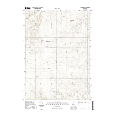
2016 Map of Greenleafton
USGS Topo · Published 2016About this map
The agricultural landscape of southern Fillmore County is defined by its deep cultural roots and the winding paths of the Upper Iowa River and South Fork Root River. This region, near the Minnesota-Iowa border, contains several distinct historical clusters, notably Greenleafton and Bristol. A dense network of township roads, such as Maple Rd and Lonesome Rd, connects widely dispersed farmsteads and points of community significance. The area is particularly notable for its genealogical landmarks, including several denominational burial grounds like the Saetersdal Norwegian Evangelical Lutheran Cem and Saint Liguori Cem. These sites, along with others such as Bristol Grove Cem and Saint Mathews Cem near Granger, underscore the settlement patterns of diverse European immigrant groups who established these rural parishes. Natural features like Crystal Spring and Canfield Cr punctuate the upland terrain, illustrating the water sources that originally drew settlers to this portion of the state.
Find a feature on this map
62 named features on this map. Tap any name to fly to it.
Don’t see what you’re looking for? This feature index may not catch every label — zoom into the map to look around manually.
Map Details
Editions of this 2016 Greenleafton Map
This is the sole edition of this map. No revisions or reprints were ever made.
Other maps of this area
1954 · Mason City
USGS Topo · 1:250,000
1957 · Mason City
USGS Topo · 1:250,000
1958 · Mason City
USGS Topo · 1:250,000
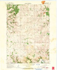
1965 · Greenleafton
USGS Topo · 1:24,000
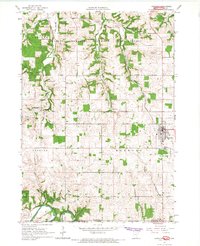
1965 · Harmony
USGS Topo · 1:24,000
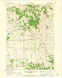
1965 · Wykoff
USGS Topo · 1:24,000
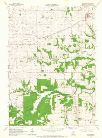
1965 · Fountain
USGS Topo · 1:24,000
1965 · Cherry Grove
USGS Topo · 1:24,000
1965 · Preston
USGS Topo · 1:24,000
1981 · Cresco NW
USGS Topo · 1:24,000