
Loading...
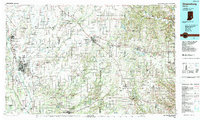
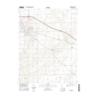
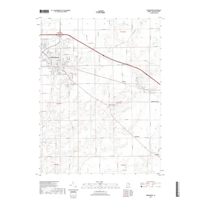
Loading map...1986 Map of Greensburg
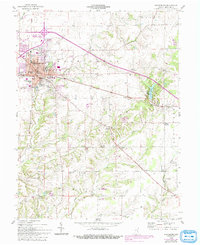
USGS Topo · Published 1986About this map
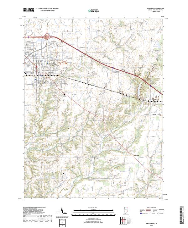
Greensburg and Columbus anchor this mid-1980s map of southeastern Indiana, a landscape where established farming towns are connected by an extensive grid of state roads and interstate highways. The Baltimore and Ohio RR and Conrail lines intersect the terrain, moving through settlements like Batesville, North Vernon, and Oldenburg. Large public and restricted lands occupy the southern half of the sheet, notably the US Military Reservation Jefferson Proving Ground and Versailles State Park.
Find a feature on this map
280 named features on this map. Tap any name to fly to it.
Don’t see what you’re looking for? This feature index may not catch every label — zoom into the map to look around manually.
Map Details
Date Portrayed1986
Date Published1986
PublisherU.S. Geological Survey
Map TypeTopographic
Scale1:100,000
Physical Dimensions40.1 x 24.1 inches
Editions of this 1986 Greensburg Map
2 editions found
Historical Maps of Columbus Through Time
7 maps found
Featured Locations
Source Details
SourceU.S. Geological Survey
CopyrightPublic Domain