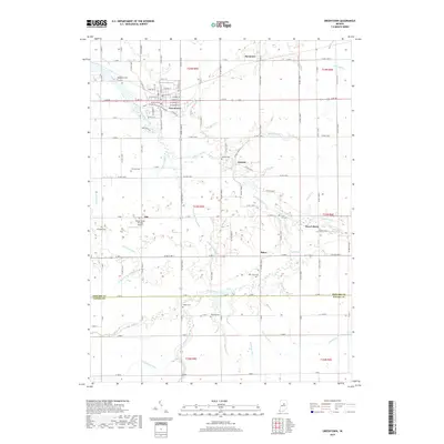
2019 Map of Greentown
USGS Topo · Published 2019About this map
Wildcat Creek meanders through the heart of this Indiana landscape, anchoring a series of small settlements and rural crossroads. The town of Greentown serves as a primary hub, showing a structured grid of streets such as Main, Grant, and Walnut, while smaller communities like Jerome, West Liberty, and Phlox are scattered to the east and south. This map reflects a highly managed agricultural environment, evidenced by the extensive network of drainage features such as Brunk Ditch, Duncan Ditch, and Moon Beesley Ditch that lace the territory between Howard and Tipton counties.
Find a feature on this map
126 named features on this map. Tap any name to fly to it.
Don’t see what you’re looking for? This feature index may not catch every label — zoom into the map to look around manually.
Map Details
Editions of this 2019 Greentown Map
This is the sole edition of this map. No revisions or reprints were ever made.
Other maps of this area

1953 · Danville
USGS Topo · 1:250,000

1953 · Muncie
USGS Topo · 1:250,000

1955 · Danville
USGS Topo · 1:250,000

1956 · Muncie
USGS Topo · 1:250,000

1956 · Danville
USGS Topo · 1:250,000

1959 · Miami
USGS Topo · 1:24,000

1960 · Elwood
USGS Topo · 1:24,000

1960 · Point Isabel
USGS Topo · 1:24,000

1960 · Kokomo East
USGS Topo · 1:24,000

1960 · Tipton
USGS Topo · 1:24,000