
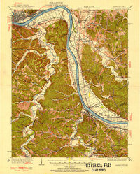
1926 Map of Greenup
USGS Topo · Published 1926About this map
The Ohio River defines the northern and eastern boundary of this mid-1920s topography, where the Chesapeake and Ohio railroad corridor links a series of riverfront settlements including Fullerton, Siloam, and Wurtland. The interior is characterized by a dense network of hollows and ridges, such as Beauty Ridge and Bee Ridge, which supported numerous rural institutions now critical for genealogical research. Communities like Nonchalanta and Letitia are documented alongside a remarkable concentration of local education sites, including the Old Steam Furnace School and the Three Mile Plum Grove School. Near the river, Government Dam No 30 reflects early twentieth-century river management. The map also captures specialized local industry at Tar Kiln and the Tar Kiln School, suggesting the historical extraction of forest products within the deeply dissected terrain of Garts Creek and Schultz Creek.
Find a feature on this map
112 named features on this map. Tap any name to fly to it.
Don’t see what you’re looking for? This feature index may not catch every label — zoom into the map to look around manually.
Map Details
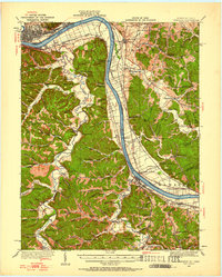
Editions of this 1926 Greenup Map
3 editions found
Other maps of this area

1898 · Ironton
USGS Topo · 1:62,500

1900 · Ironton
USGS Topo · 1:62,500

1901 · Ceredo
USGS Topo · 1:62,500

1903 · Kenova
USGS Topo · 1:125,000

1904 · Kenova
USGS Topo · 1:125,000

1911 · Sciotoville
USGS Topo · 1:62,500

1912 · Oak Hill
USGS Topo · 1:62,500

1913 · Ceredo
USGS Topo · 1:62,500

1913 · Sciotoville
USGS Topo · 1:62,500

1915 · Garrison
USGS Topo · 1:62,500