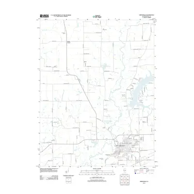
2012 Map of Greenville
USGS Topo · Published 2012About this map
Greenville serves as the focal point of this Bond County study, centered around the historic campus of Greenville College. The settlement pattern follows the meandering path of the E Fork Shoal Cr, which feeds into Greenville Lake and Greenville New City Lake. This 2012 survey provides significant genealogical value, documenting numerous burial grounds such as Montrose Cem, Mount Auburn Cem, and Old City Cem within the city limits, while outliers like Jett Number Cem and Mount Gilead Cem populate the surrounding countryside. Outside the primary hub, smaller nodes like Paisley Corners and Ayers are linked by a grid of rural routes including Red Ball Trl and Old Highway 127. The presence of industrial and recreational landmarks, including the Rinco Instrument Corporation Lake and Greenville Rod and Gun Club Lake, illustrates the modern land use of this Illinois prairie landscape.
Find a feature on this map
100 named features on this map. Tap any name to fly to it.
Don’t see what you’re looking for? This feature index may not catch every label — zoom into the map to look around manually.
Map Details
Editions of this 2012 Greenville Map
This is the sole edition of this map. No revisions or reprints were ever made.
Other maps of this area

1915 · Mount Olive
USGS Topo · 1:62,500

1932 · Greenville
USGS Topo · 1:62,500

1937 · New Douglas
USGS Topo · 1:48,000

1939 · Greenville
USGS Topo · 1:62,500

1943 · Greenville
USGS Topo · 1:62,500

1944 · New Douglas
USGS Topo · 1:62,500

1944 · Mount Olive
USGS Topo · 1:62,500

1947 · Hillsboro
USGS Topo · 1:62,500

1949 · Hillsboro
USGS Topo · 1:62,500

1958 · Decatur
USGS Topo · 1:250,000