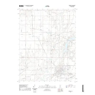
2021 Map of Greenville
USGS Topo · Published 2021About this map
Greenville serves as the focal point of this Bond County landscape, where the long-standing influence of Greenville College and a dense network of local cemeteries anchor the community's history. The terrain is defined by the winding course of East Fork Shoal Creek and the expansive Governor Bond Lake to the east. These water systems, alongside Kingsbury Branch and Greenville Lake, illustrate the vital role of water management and recreation in the region.
Find a feature on this map
78 named features on this map. Tap any name to fly to it.
Don’t see what you’re looking for? This feature index may not catch every label — zoom into the map to look around manually.
Map Details
Editions of this 2021 Greenville Map
This is the sole edition of this map. No revisions or reprints were ever made.
Other maps of this area

1915 · Mount Olive
USGS Topo · 1:62,500

1932 · Greenville
USGS Topo · 1:62,500

1937 · New Douglas
USGS Topo · 1:48,000

1939 · Greenville
USGS Topo · 1:62,500

1943 · Greenville
USGS Topo · 1:62,500

1944 · New Douglas
USGS Topo · 1:62,500

1944 · Mount Olive
USGS Topo · 1:62,500

1947 · Hillsboro
USGS Topo · 1:62,500

1949 · Hillsboro
USGS Topo · 1:62,500

1958 · Decatur
USGS Topo · 1:250,000