
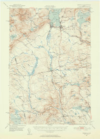
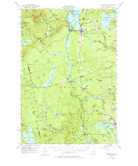
1951 Map of Greenville
USGS Topo · Published 1952About this map
Greenville and the southern shores of Moosehead Lake serve as the primary hub for transportation and regional industry in the early 1950s. The geography is defined by a dense network of water bodies and timberlands, where the Canadian Pacific Railroad and the Bangor and Aroostook Railroad intersect at Greenville June. This junction highlights the area's importance as a rail-to-water transfer point for the Maine North Woods. Further south, the landscape transitions into the smaller settlements of Blanchard and Monson, where local life centered around Lake Hebron and nearby resources.
Find a feature on this map
124 named features on this map. Tap any name to fly to it.
Don’t see what you’re looking for? This feature index may not catch every label — zoom into the map to look around manually.
Map Details
Editions of this 1951 Greenville Map
6 editions found
Other maps of this area

1903 · Bingham
USGS Topo · 1:62,500

1905 · Bingham
USGS Topo · 1:62,500

1905 · The Forks
USGS Topo · 1:62,500

1907 · The Forks
USGS Topo · 1:62,500

1920 · Moosehead Lake
USGS Topo · 1:62,500

1921 · Brassua Lake
USGS Topo · 1:62,500

1922 · Moosehead Lake
USGS Topo · 1:62,500

1923 · Brassua Lake
USGS Topo · 1:62,500

1930 · Moosehead Lake
USGS Topo · 1:62,500

1933 · Guilford
USGS Topo · 1:62,500