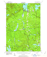
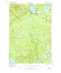
1951 Map of Greenville
USGS Topo · Published 1963About this map
Greenville and Monson anchor this mid-century survey of the Maine highlands, where the Canadian Pacific Railway and the Bangor and Aroostook Railroad intersect to serve the region's timber and recreational interests. The landscape is defined by the southern reaches of Moosehead Lake and the surrounding summits of Squaw Mountain and Rum Mtn. Industrial and civic life is centered at Greenville Junc and Shirley Mills, while the State Fish Hatchery and Greenville Airfield represent the specialized infrastructure supporting the local economy.
Find a feature on this map
119 named features on this map. Tap any name to fly to it.
Don’t see what you’re looking for? This feature index may not catch every label — zoom into the map to look around manually.
Map Details
Editions of this 1951 Greenville Map
6 editions found

Other maps of this area

1903 · Bingham
USGS Topo · 1:62,500

1905 · Bingham
USGS Topo · 1:62,500

1905 · The Forks
USGS Topo · 1:62,500

1907 · The Forks
USGS Topo · 1:62,500

1920 · Moosehead Lake
USGS Topo · 1:62,500

1921 · Brassua Lake
USGS Topo · 1:62,500

1922 · Moosehead Lake
USGS Topo · 1:62,500

1923 · Brassua Lake
USGS Topo · 1:62,500

1930 · Moosehead Lake
USGS Topo · 1:62,500

1933 · Guilford
USGS Topo · 1:62,500