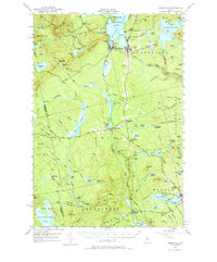
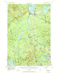
1951 Map of Greenville
USGS Topo · Published 1979About this map
Moosehead Lake anchors this mid-century portrait of Maine’s North Woods, where the industrial and recreational character of Greenville and Greenville Junc is clearly defined. The terrain is dominated by Squaw Mountain and Little Squaw Mountain, with the Appalachian Trail winding through the eastern ridges near Oak Ridge. This era shows a landscape still deeply connected to rail transport, as the Canadian Pacific and Bangor and Ar00st00k lines converge near the lake’s edge, supporting local commerce and the State Fish Hatchery.
Find a feature on this map
133 named features on this map. Tap any name to fly to it.
Don’t see what you’re looking for? This feature index may not catch every label — zoom into the map to look around manually.
Map Details
Editions of this 1951 Greenville Map
6 editions found

Other maps of this area

1903 · Bingham
USGS Topo · 1:62,500

1905 · Bingham
USGS Topo · 1:62,500

1905 · The Forks
USGS Topo · 1:62,500

1907 · The Forks
USGS Topo · 1:62,500

1920 · Moosehead Lake
USGS Topo · 1:62,500

1921 · Brassua Lake
USGS Topo · 1:62,500

1922 · Moosehead Lake
USGS Topo · 1:62,500

1923 · Brassua Lake
USGS Topo · 1:62,500

1930 · Moosehead Lake
USGS Topo · 1:62,500

1933 · Guilford
USGS Topo · 1:62,500