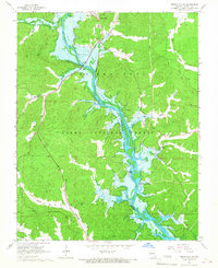
1966 Map of Greenville SW
USGS Topo · Published 1967About this map
The St Francis River valley defines this mid-1960s landscape, dominated by the waters of Lake Wappapello held at a normal pool elevation of 358 feet. The settlement of Greenville sits at the northern edge of the reservoir, while recreational points like Holliday Landing and Camp Allen line the eastern and western shores. The map reveals the extensive reach of the Clark National Forest, which blankets the surrounding hills and hollows including Happy Hollow and Smoot Hollow.
Find a feature on this map
50 named features on this map. Tap any name to fly to it.
Don’t see what you’re looking for? This feature index may not catch every label — zoom into the map to look around manually.
Map Details
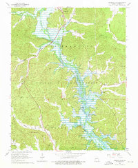
Editions of this 1966 Greenville SW Map
2 editions found
Other maps of this area

1932 · Piedmont
USGS Topo · 1:62,500

1934 · Greenville
USGS Topo · 1:62,500

1934 · Williamsville
USGS Topo · 1:48,000

1935 · Poplar Bluff
USGS Topo · 1:62,500

1935 · Piedmont
USGS Topo · 1:62,500

1939 · Greenville
USGS Topo · 1:62,500

1939 · Poplar Bluff
USGS Topo · 1:62,500

1940 · Williamsville
USGS Topo · 1:62,500

1949 · Rolla
USGS Topo · 1:250,000

1949 · Poplar Bluff
USGS Topo · 1:62,500