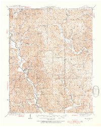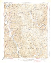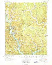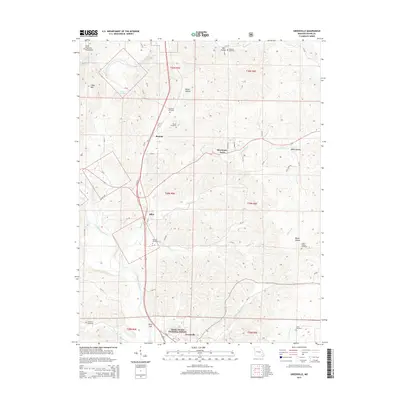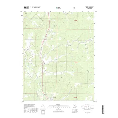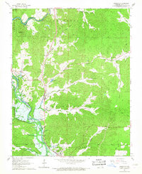
1966 Map of Greenville
USGS Topo · Published 1967About this map
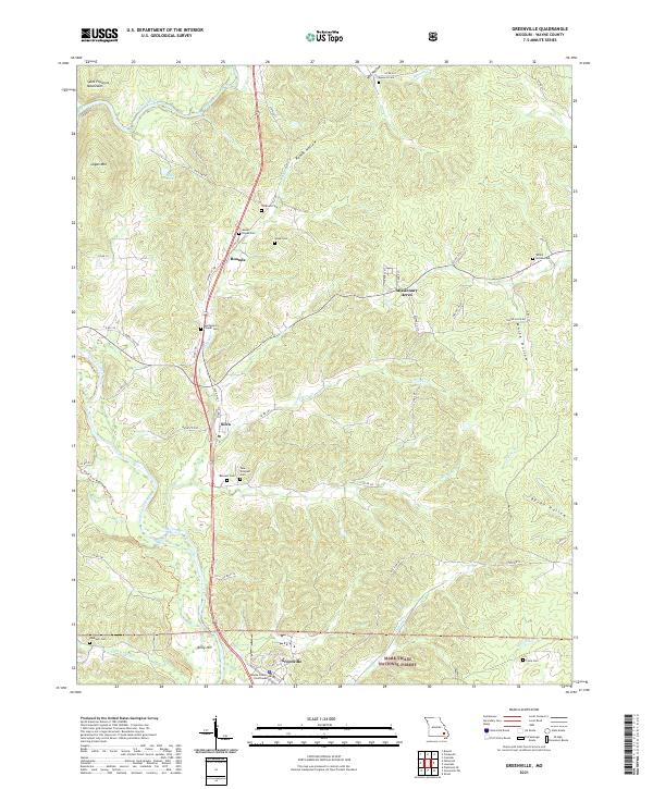
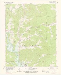
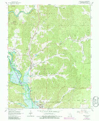
Greenville serves as a focal point along the lower edge of this mid-1960s Ozark landscape, where the St Francis River flows into the northern reaches of Lake Wappapello. This era of the Missouri interior is defined by a mix of public land and rural community life, with the Clark National Forest and Sam A Baker State Park encompassing much of the wooded terrain. The settlement pattern follows the river and its tributaries, revealing small clusters such as Silva and Bounds. Local institutions are densely marked, including several country houses of worship like Mt Pisgah Ch and New Liberty Ch, alongside educational relics like the White Hollow Sch. Notable landmarks of the time include the Fish Hatchery near Frazier Creek and the presence of Camp Lewallen, providing a detailed look at the region's mid-century recreational and civic development.
Find a feature on this map
43 named features on this map. Tap any name to fly to it.
Don’t see what you’re looking for? This feature index may not catch every label — zoom into the map to look around manually.
Map Details
Editions of this 1966 Greenville Map
3 editions found
Historical Maps of Greenville Through Time
8 maps found