Loading...
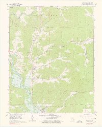
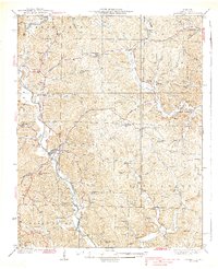
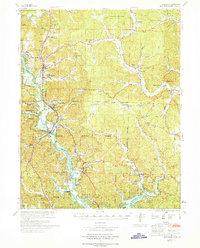
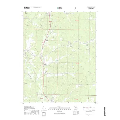
Loading map...1966 Map of Greenville
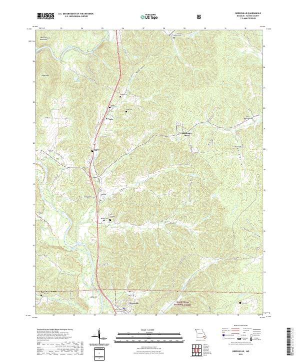
USGS Topo · Published 1978About this map
Greenville serves as a focal point in this section of Wayne County, situated near the winding course of the St Francis River and the expanding waters of Lake Wappapello. The landscape is a mix of protected timberland within the Clark National Forest and local settlements like Silva and Missionary Acres. Rural life in the mid-1960s is evidenced by numerous community landmarks, including the White Hollow School and several country churches such as Mt Pisgah Ch and New Liberty Ch.
Find a feature on this map
44 named features on this map. Tap any name to fly to it.
Don’t see what you’re looking for? This feature index may not catch every label — zoom into the map to look around manually.
Map Details
Date Portrayed1966
Date Published1978
PublisherU.S. Geological Survey
Map TypeTopographic
Scale1:24,000
Physical Dimensions22.03 x 27.31 inches
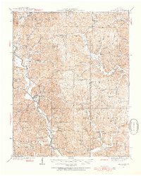
Editions of this 1966 Greenville Map
3 editions found
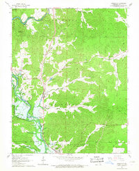
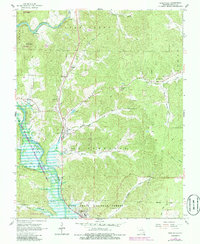
Historical Maps of Greenville Through Time
8 maps found
Featured Locations
Source Details
SourceU.S. Geological Survey
CopyrightPublic Domain