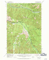
1956 Map of Greenwater
USGS Topo · Published 1971About this map
The Northern Pacific railroad corridor dictates the settlement pattern across this mountainous landscape, connecting a string of small stations and communities along the Green River. Early 20th-century outposts like Nagrom, Lester, and Humphrey appear as vital nodes in the timber and transport network of the Cascades. Further south, the landscape shifts toward the drainage of the White River and Greenwater River, where recreation and forestry management take precedence at sites like Federation Forest State Park and the Twin Creeks Guard Sta.
Find a feature on this map
84 named features on this map. Tap any name to fly to it.
Don’t see what you’re looking for? This feature index may not catch every label — zoom into the map to look around manually.
Map Details
Editions of this 1956 Greenwater Map
4 editions found
Other maps of this area

1901 · Snoqualmie Pass
USGS Topo · 1:125,000

1902 · Mount Aix
USGS Topo · 1:125,000

1903 · Snoqualmie
USGS Topo · 1:125,000

1904 · Mt Aix
USGS Topo · 1:125,000

1913 · Cedar Lake
USGS Topo · 1:125,000

1924 · Mt Rainier
USGS Topo · 1:96,000

1928 · Mt Rainier
USGS Topo · 1:125,000

1950 · Yakima
USGS Topo · 1:250,000

1953 · Eagle Gorge
USGS Topo · 1:24,000

1956 · Greenwater
USGS Topo · 1:62,500