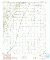
1984 Map of Greenway
USGS Topo · Published 1993About this map
Crowleys Ridge rises above the flatlands of Clay County, providing a distinct topographical break in this agricultural landscape. The town of Greenway is situated at the foot of this elevation, where the St Louis Southwestern railroad tracks run north toward the larger center of Piggott. The map documents a transition from the elevated western terrain to the lower eastern plains, which are intricately drained by a network of waterways including Sugar Creek, Middle Slough, and Big Slough. This 1980s-era survey captures the rural layout of northeastern Arkansas, highlighting small rural gatherings like Mitchell, Hargrave Corner, and the Holly Island Community. The drainage patterns and road grid reflect an area heavily defined by its proximity to these sloughs and the historic rail corridor, which once served as a primary artery for movement through the Delta region.
Find a feature on this map
19 named features on this map. Tap any name to fly to it.
Don’t see what you’re looking for? This feature index may not catch every label — zoom into the map to look around manually.
Map Details
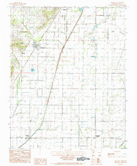
Editions of this 1984 Greenway Map
2 editions found
Other maps of this area

1934 · Kennett
USGS Topo · 1:62,500

1935 · Rector
USGS Topo · 1:62,500

1940 · Marmaduke
USGS Topo · 1:62,500

1940 · Kennett
USGS Topo · 1:62,500

1940 · Piggott
USGS Topo · 1:62,500

1956 · Kennett
USGS Topo · 1:62,500

1956 · Piggott
USGS Topo · 1:62,500

1957 · Poplar Bluff
USGS Topo · 1:250,000

1958 · Marmaduke
USGS Topo · 1:62,500

1958 · Rector
USGS Topo · 1:62,500