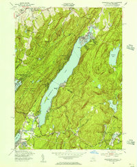
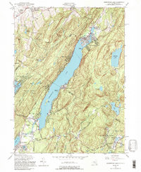
1954 Map of Greenwood Lake
USGS Topo · Published 1956About this map
Greenwood Lake straddles the state line between New York and New Jersey, serving as the central topographical focus of this mid-century survey. The surrounding landscape is defined by significant ridges like Taylor Mountain and Warwick Mountain, which hem in the narrow valley. This era reveals a transition from the region's industrial past to its recreational present, evidenced by an Iron Mine (Inactive) near the Ringwood area and the establishment of sprawling protected lands such as the Abram S Hewitt State Forest.
Find a feature on this map
69 named features on this map. Tap any name to fly to it.
Don’t see what you’re looking for? This feature index may not catch every label — zoom into the map to look around manually.
Map Details
Editions of this 1954 Greenwood Lake Map
5 editions found
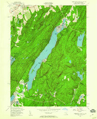
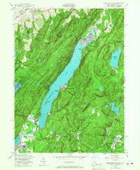
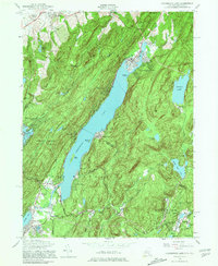
Other maps of this area

1891 · Greenwood Lake
USGS Topo · 1:62,500

1891 · Ramapo
USGS Topo · 1:62,500

1893 · Greenwood Lake
USGS Topo · 1:62,500

1893 · Ramapo
USGS Topo · 1:62,500

1902 · Schunemunk
USGS Topo · 1:62,500

1903 · Greenwood Lake
USGS Topo · 1:62,500

1906 · Goshen
USGS Topo · 1:62,500

1908 · Goshen
USGS Topo · 1:62,500

1910 · Ramapo
USGS Topo · 1:62,500

1910 · Greenwood Lake
USGS Topo · 1:62,500