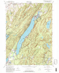
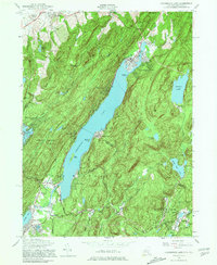
1954 Map of Greenwood Lake
USGS Topo · Published 1990About this map
Greenwood Lake dominates this New York and New Jersey borderlands region, serving as a central hub for lakeside settlements like Lakeside, Sterling Forest, and Awosting. In the southern portion of the sheet, the industrial and community legacy of Passaic County is evident through the Iron Mine (Inactive) near Ringwood and the presence of the Erie Railroad line cutting through the terrain. The landscape is a mix of protected woodland and mid-century development, where the Abram S. Hewitt State Forest meets established institutions such as the Mt St Francis School and the Church of the Incarnation.
Find a feature on this map
84 named features on this map. Tap any name to fly to it.
Don’t see what you’re looking for? This feature index may not catch every label — zoom into the map to look around manually.
Map Details
Editions of this 1954 Greenwood Lake Map
5 editions found
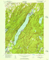
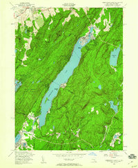
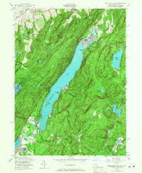
Other maps of this area

1891 · Greenwood Lake
USGS Topo · 1:62,500

1891 · Ramapo
USGS Topo · 1:62,500

1893 · Greenwood Lake
USGS Topo · 1:62,500

1893 · Ramapo
USGS Topo · 1:62,500

1902 · Schunemunk
USGS Topo · 1:62,500

1903 · Greenwood Lake
USGS Topo · 1:62,500

1906 · Goshen
USGS Topo · 1:62,500

1908 · Goshen
USGS Topo · 1:62,500

1910 · Ramapo
USGS Topo · 1:62,500

1910 · Greenwood Lake
USGS Topo · 1:62,500