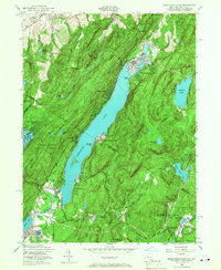
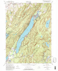
1954 Map of Greenwood Lake
USGS Topo · Published 1967About this map
Greenwood Lake defines the center of this 1954 landscape, straddling the border between New York and New Jersey. The surrounding topography is dominated by the steep ridges of Bellvale Mountain and Bearfort Mountain, which hem in the narrow valley settlements. In the southern portion of the sheet, the industrial history of the region is evident at the Iron Mine near Ringwood, while conservation efforts are represented by the sprawling Abram S. Hewitt State Forest and Ringwood Manor State Park. Small lakeside communities like Awosting and Lakeside are connected by the Greenwood Lake Turnpike, reflecting the mid-century development of the area as both a residential and recreational hub. Local genealogy is supported by several burial grounds, including Warwick Cemetery and St Stephen Cemetery, located near the village of Warwick in the northern reaches of the quadrangle.
Find a feature on this map
62 named features on this map. Tap any name to fly to it.
Don’t see what you’re looking for? This feature index may not catch every label — zoom into the map to look around manually.
Map Details
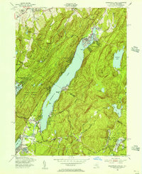
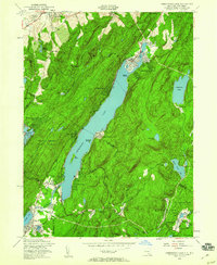
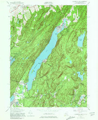
Editions of this 1954 Greenwood Lake Map
5 editions found
Other maps of this area

1891 · Greenwood Lake
USGS Topo · 1:62,500

1891 · Ramapo
USGS Topo · 1:62,500

1893 · Greenwood Lake
USGS Topo · 1:62,500

1893 · Ramapo
USGS Topo · 1:62,500

1902 · Schunemunk
USGS Topo · 1:62,500

1903 · Greenwood Lake
USGS Topo · 1:62,500

1906 · Goshen
USGS Topo · 1:62,500

1908 · Goshen
USGS Topo · 1:62,500

1910 · Ramapo
USGS Topo · 1:62,500

1910 · Greenwood Lake
USGS Topo · 1:62,500