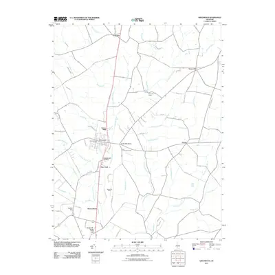
2011 Map of Greenwood
USGS Topo · Published 2011About this map
The Nanticoke River and its intricate network of tributaries, including White Marsh Branch and Toms Dam Branch, carve through the Delaware landscape north of Bridgeville North. This rural corridor is defined by small clusters of settlement and family-named locales such as Hickory Ridge and Newton Woods. The village of Greenwood serves as a central hub, containing the Greenwood Post Office and neighboring residential developments like Greenwood Gardens.
Find a feature on this map
66 named features on this map. Tap any name to fly to it.
Don’t see what you’re looking for? This feature index may not catch every label — zoom into the map to look around manually.
Map Details
Editions of this 2011 Greenwood Map
This is the sole edition of this map. No revisions or reprints were ever made.
Other maps of this area

1915 · Seaford
USGS Topo · 1:62,500

1917 · Millsboro
USGS Topo · 1:62,500

1918 · Cedar Creek
USGS Topo · 1:62,500

1918 · Harrington
USGS Topo · 1:62,500

1919 · Cedar Creek
USGS Topo · 1:62,500

1938 · Cedar Creek
USGS Topo · 1:62,500

1938 · Millsboro
USGS Topo · 1:62,500

1944 · Cedar Creek
USGS Topo · 1:62,500

1944 · Millsboro
USGS Topo · 1:62,500

1944 · Seaford
USGS Topo · 1:62,500