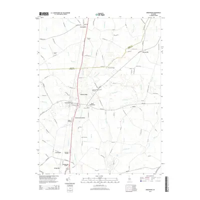
2014 Map of Greenwood
USGS Topo · Published 2014About this map
The Nanticoke River flows south through this interior section of the Delmarva Peninsula Eastern Shore, forming a natural corridor for a series of small settlements and agricultural hubs. The landscape is defined by a dense network of branches and creeks, such as Toms Dam Br and Grubby Neck Br, which feed into the river system. Longstanding communities like Greenwood and Farmington anchor the region, while smaller locales like Cocked Hat, Owens, and Staytonville reflect the traditional rural settlement patterns of Sussex and Kent counties.
Find a feature on this map
117 named features on this map. Tap any name to fly to it.
Don’t see what you’re looking for? This feature index may not catch every label — zoom into the map to look around manually.
Map Details
Editions of this 2014 Greenwood Map
This is the sole edition of this map. No revisions or reprints were ever made.
Other maps of this area

1915 · Seaford
USGS Topo · 1:62,500

1917 · Millsboro
USGS Topo · 1:62,500

1918 · Cedar Creek
USGS Topo · 1:62,500

1918 · Harrington
USGS Topo · 1:62,500

1919 · Cedar Creek
USGS Topo · 1:62,500

1938 · Cedar Creek
USGS Topo · 1:62,500

1938 · Millsboro
USGS Topo · 1:62,500

1944 · Cedar Creek
USGS Topo · 1:62,500

1944 · Millsboro
USGS Topo · 1:62,500

1944 · Seaford
USGS Topo · 1:62,500