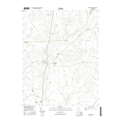
2016 Map of Greenwood
USGS Topo · Published 2016About this map
Greenwood and Bridgeville serve as primary hubs within this agricultural corridor of central Delaware during the mid-2010s. The landscape is defined by a dense network of local routes like Staytonville Rd and Hickman Rd, which connect small communities such as Farmington, Owens, and Cocked Hat. The Nanticoke River and its various tributaries, including Grubby Neck Br and Marsh Branch, weave through the terrain, illustrating the intricate drainage patterns essential to the region's farming heritage.
Find a feature on this map
110 named features on this map. Tap any name to fly to it.
Don’t see what you’re looking for? This feature index may not catch every label — zoom into the map to look around manually.
Map Details
Editions of this 2016 Greenwood Map
This is the sole edition of this map. No revisions or reprints were ever made.
Other maps of this area

1915 · Seaford
USGS Topo · 1:62,500

1917 · Millsboro
USGS Topo · 1:62,500

1918 · Cedar Creek
USGS Topo · 1:62,500

1918 · Harrington
USGS Topo · 1:62,500

1919 · Cedar Creek
USGS Topo · 1:62,500

1938 · Cedar Creek
USGS Topo · 1:62,500

1938 · Millsboro
USGS Topo · 1:62,500

1944 · Cedar Creek
USGS Topo · 1:62,500

1944 · Millsboro
USGS Topo · 1:62,500

1944 · Seaford
USGS Topo · 1:62,500