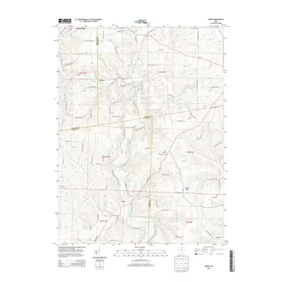
2013 Map of Greer
USGS Topo · Published 2013About this map
Loudonville marks the northern extent of this landscape where the Black Fork Mohican River and Lake Fork Mohican River converge to form the Mohican River. The river valley dictates the local infrastructure, with Wally Rd following the western bank through the smaller settlements of Spellacy and Greer. This region at the borders of Ashland, Holmes, and Knox Counties is defined by its high ridges and cemetery locations which serve as vital markers for local family history. Researchers can identify multiple burial grounds established on elevated terrain, such as Kaylor Ridge Cem near Kaylor Ridge and Wolf Cem overlooking the Ball Alley Run drainage. The land is divided into several townships including t19n r16w, t19n r15w, t9n r10w, and t8n r10w, showing the enduring influence of the Public Land Survey System on property boundaries and road networks.
Find a feature on this map
83 named features on this map. Tap any name to fly to it.
Don’t see what you’re looking for? This feature index may not catch every label — zoom into the map to look around manually.
Map Details
Editions of this 2013 Greer Map
This is the sole edition of this map. No revisions or reprints were ever made.
Other maps of this area

1912 · Loudonville
USGS Topo · 1:62,500

1912 · Gambier
USGS Topo · 1:62,500

1912 · Perrysville
USGS Topo · 1:62,500

1913 · Brinkhaven
USGS Topo · 1:62,500

1914 · Gambier
USGS Topo · 1:62,500

1914 · Loudonville
USGS Topo · 1:62,500

1915 · Brinkhaven
USGS Topo · 1:62,500

1915 · Perrysville
USGS Topo · 1:62,500

1943 · Gambier
USGS Topo · 1:62,500

1943 · Loudonville
USGS Topo · 1:62,500