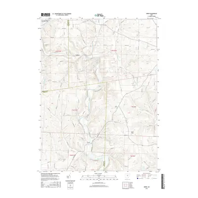
2016 Map of Greer
USGS Topo · Published 2016About this map
Loudonville sits at the northwestern edge of this landscape where the Black Fork Mohican River flows through the borderlands of Ashland, Holmes, and Knox Counties. The topography is defined by the winding course of the Mohican River, which is joined by the Lake Fork Mohican River south of the small settlement of Spellacy. This area preserves a quiet rural character, centered on the community of Greer and the elevated terrain of Kaylor Ridge. Local history is anchored by several dispersed family and community burial sites, including Kaylor Ridge Cem, Harding Cem, Wolf Cem, and Ullman Cem. The map illustrates a complex network of township and county roads that navigate the ridges and valleys, tracing the drainage patterns of tributaries like Sigafoos Run and Grab Run before they meet the primary river system.
Find a feature on this map
131 named features on this map. Tap any name to fly to it.
Don’t see what you’re looking for? This feature index may not catch every label — zoom into the map to look around manually.
Map Details
Editions of this 2016 Greer Map
This is the sole edition of this map. No revisions or reprints were ever made.
Other maps of this area
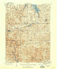
1912 · Loudonville
USGS Topo · 1:62,500
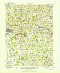
1912 · Gambier
USGS Topo · 1:62,500
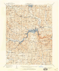
1912 · Perrysville
USGS Topo · 1:62,500
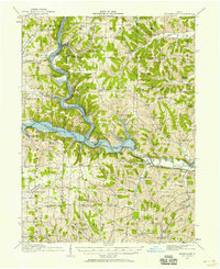
1913 · Brinkhaven
USGS Topo · 1:62,500
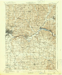
1914 · Gambier
USGS Topo · 1:62,500
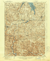
1914 · Loudonville
USGS Topo · 1:62,500
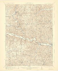
1915 · Brinkhaven
USGS Topo · 1:62,500
1915 · Perrysville
USGS Topo · 1:62,500
1943 · Gambier
USGS Topo · 1:62,500
1943 · Loudonville
USGS Topo · 1:62,500