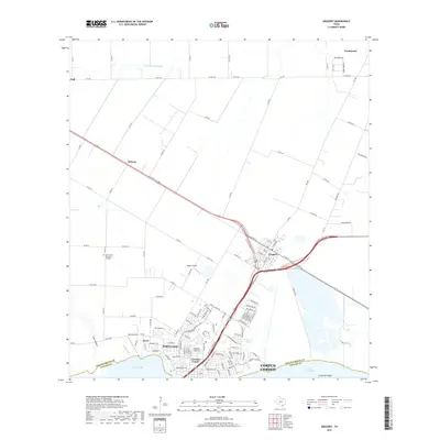
2019 Map of Gregory
USGS Topo · Published 2019About this map
Portland and Gregory anchor this coastal landscape where the waters of Nueces Bay meet Corpus Christi Bay. This 2019 survey captures a transition from the dense residential grid of Crescent Center and Doyle to the agricultural reaches of the San Patricio Co and Nueces Co border. Small aviation hubs like Magee Airport and Hunt Airport sit near established infrastructure, reflecting the regional importance of general aviation alongside major thoroughfares.
Find a feature on this map
121 named features on this map. Tap any name to fly to it.
Don’t see what you’re looking for? This feature index may not catch every label — zoom into the map to look around manually.
Map Details
Editions of this 2019 Gregory Map
This is the sole edition of this map. No revisions or reprints were ever made.
Other maps of this area

1925 · Aransas Pass
USGS Topo · 1:62,500

1925 · Corpus Christi
USGS Topo · 1:62,500

1950 · Corpus Christi
USGS Topo · 1:250,000

1951 · Portland
USGS Topo · 1:24,000

1951 · Corpus Christi
USGS Topo · 1:24,000

1951 · Corpus Christi
USGS Topo · 1:62,500

1953 · Beeville
USGS Topo · 1:250,000

1954 · Rockport
USGS Topo · 1:62,500

1954 · Aransas Pass
USGS Topo · 1:24,000

1954 · Port Ingleside
USGS Topo · 1:24,000