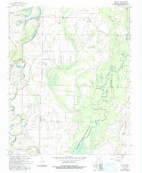
1968 Map of Gregory
USGS Topo · Published 1993About this map
The low-lying wetlands of the Cache River bottomlands dominate this portion of Woodruff County, where the river's winding course creates a dense network of oxbows and sloughs. Much of the eastern terrain is protected within the Black Swamp State Wildlife Management Area, a landscape defined by seasonal flooding and water bodies like Dupree Lake, Beaver Lake, and Walker Lake. The settlement of Gregory serves as a small hub on the western edge of the swamp, surrounded by family-named landmarks and local sites of worship.
Find a feature on this map
34 named features on this map. Tap any name to fly to it.
Don’t see what you’re looking for? This feature index may not catch every label — zoom into the map to look around manually.
Map Details
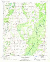
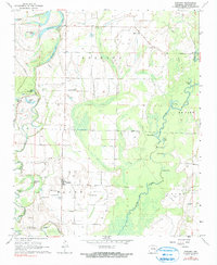
Editions of this 1968 Gregory Map
3 editions found
Other maps of this area

1935 · Augusta
USGS Topo · 1:62,500

1935 · Gregory
USGS Topo · 1:62,500

1939 · Hunter
USGS Topo · 1:62,500

1940 · Tilton
USGS Topo · 1:62,500

1953 · Memphis
USGS Topo · 1:250,000

1956 · Memphis
USGS Topo · 1:250,000

1956 · Tilton
USGS Topo · 1:62,500

1956 · Hunter
USGS Topo · 1:62,500

1957 · Augusta
USGS Topo · 1:62,500

1957 · Gregory
USGS Topo · 1:62,500