
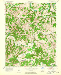
1953 Map of Gresham
USGS Topo · Published 1955About this map
Green River carves a dramatic series of horseshoe bends across the northern landscape, including Cox Bend, Penitentiary Bend, Lemon Bend, and Tibbs Bend. This 1950s survey details a rural area primarily defined by small-scale agriculture and dispersed community centers near the Green Co Adair Co line. Settlements like Gresham and Roachville serve as focal points for a network of country roads connecting numerous family-named cemeteries and rural institutions.
Find a feature on this map
47 named features on this map. Tap any name to fly to it.
Don’t see what you’re looking for? This feature index may not catch every label — zoom into the map to look around manually.
Map Details
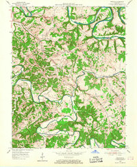
Editions of this 1953 Gresham Map
4 editions found

Other maps of this area

1953 · Gradyville
USGS Topo · 1:24,000

1953 · Campbellsville
USGS Topo · 1:24,000

1953 · Summersville
USGS Topo · 1:24,000

1953 · Exie
USGS Topo · 1:24,000

1953 · East Fork
USGS Topo · 1:24,000

1953 · Cane Valley
USGS Topo · 1:24,000

1954 · Columbia
USGS Topo · 1:24,000

1954 · Greensburg
USGS Topo · 1:24,000

1957 · Winchester
USGS Topo · 1:250,000

1960 · Winchester
USGS Topo · 1:250,000