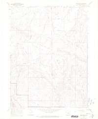
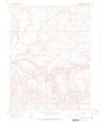
1966 Map of Greystone
USGS Topo · Published 1969About this map
Greystone and its small collection of high-desert outposts appear here during a mid-1960s survey of Moffat County. The landscape is defined by the sharp rise of Douglas Mountain and the long spine of Limestone Ridge, punctuated by a series of family-named settlements and work sites. Evidence of early resource extraction is visible through labels for the Coke Ovens and a Gravel Pit near Smelter Hill, suggesting a history of mineral processing in this corner of the Colorado plateau.
Find a feature on this map
35 named features on this map. Tap any name to fly to it.
Don’t see what you’re looking for? This feature index may not catch every label — zoom into the map to look around manually.
Map Details
Editions of this 1966 Greystone Map
3 editions found
Other maps of this area

1907 · Rangely
USGS Topo · 1:125,000

1910 · Rangely
USGS Topo · 1:125,000

1954 · Vernal
USGS Topo · 1:250,000

1958 · Vernal
USGS Topo · 1:250,000

1960 · Vernal
USGS Topo · 1:250,000

1962 · Tanks Peak
USGS Topo · 1:24,000

1962 · Indian Water Canyon
USGS Topo · 1:24,000
1962 · Haystack Rock
USGS Topo · 1:24,000
1966 · Limestone Hill
USGS Topo · 1:24,000

1966 · Sheephead Basin
USGS Topo · 1:24,000