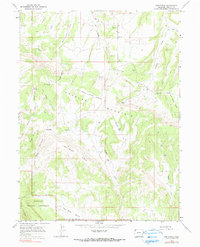
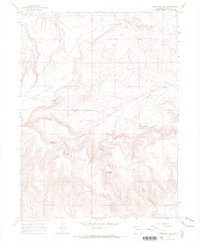
1966 Map of Greystone
USGS Topo · Published 1990About this map
Greystone and its surrounding high-altitude plateaus appear here during the mid-1960s, defined by a landscape of remote ranching outposts and remnants of early industrial activity. The presence of Coke Ovens and Smelter Hill suggests a history of mineral processing in this corner of Moffat County, while features like Iron Mine Basin and a labeled Mine near Buck Ridge point toward the area’s geologic utility. The settlement pattern is sparse, composed largely of named homesteads and temporary camps such as Whisky Springs Ranch, Petes Place, Sweet Place, and Tepee Ranch.
Find a feature on this map
32 named features on this map. Tap any name to fly to it.
Don’t see what you’re looking for? This feature index may not catch every label — zoom into the map to look around manually.
Map Details
Editions of this 1966 Greystone Map
3 editions found
Other maps of this area

1907 · Rangely
USGS Topo · 1:125,000

1910 · Rangely
USGS Topo · 1:125,000

1954 · Vernal
USGS Topo · 1:250,000

1958 · Vernal
USGS Topo · 1:250,000

1960 · Vernal
USGS Topo · 1:250,000

1962 · Tanks Peak
USGS Topo · 1:24,000

1962 · Indian Water Canyon
USGS Topo · 1:24,000
1962 · Haystack Rock
USGS Topo · 1:24,000
1966 · Limestone Hill
USGS Topo · 1:24,000

1966 · Sheephead Basin
USGS Topo · 1:24,000