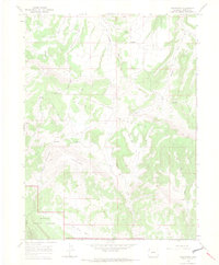
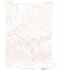
1966 Map of Greystone
USGS Topo · Published 1969About this map
Greystone and its neighboring ranchlands occupy this high-altitude landscape in northwestern Colorado during the mid-1960s. The map illustrates a remote high-desert economy where small outposts like Whisky Springs Ranch and Tepee Ranch are connected by rugged tracks and the Douglas Mountain Boulevard. To the southeast, the terrain descends into Iron Mine Basin, while evidence of early industry appears at Smelter Hill and the Coke Ovens. The southwestern corner of the sheet is anchored by the northern reaches of Dinosaur National Monument, illustrating the transition from managed grazing lands to protected federal wilderness. Family history is subtly recorded through features like Petes Place, Tower Place, and a solitary Grave located near Daisy Spring.
Find a feature on this map
34 named features on this map. Tap any name to fly to it.
Don’t see what you’re looking for? This feature index may not catch every label — zoom into the map to look around manually.
Map Details
Editions of this 1966 Greystone Map
3 editions found
Other maps of this area

1907 · Rangely
USGS Topo · 1:125,000

1910 · Rangely
USGS Topo · 1:125,000

1954 · Vernal
USGS Topo · 1:250,000

1958 · Vernal
USGS Topo · 1:250,000

1960 · Vernal
USGS Topo · 1:250,000

1962 · Tanks Peak
USGS Topo · 1:24,000

1962 · Indian Water Canyon
USGS Topo · 1:24,000
1962 · Haystack Rock
USGS Topo · 1:24,000
1966 · Limestone Hill
USGS Topo · 1:24,000

1966 · Sheephead Basin
USGS Topo · 1:24,000