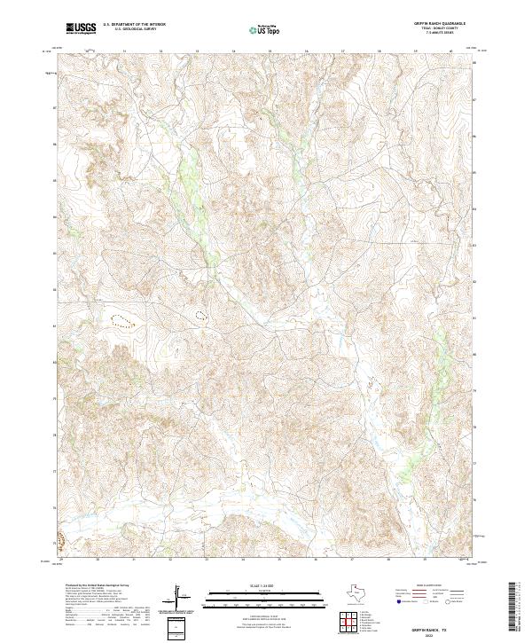
2022 Map of Griffin Ranch
USGS Topo · Published 2022About this map
The Salt Fork Red River carves through the southern portion of this landscape in Donley County, marking a primary drainage point for the surrounding cattle country. This modern survey reveals a highly dissected terrain where numerous creeks, including Turkey Creek and Saddlers Creek, flow southward toward the river. The network of local county roads, such as Co RD I and Co RD H, follows the natural contours and ridgelines between these deep creek valleys, illustrating how contemporary infrastructure still adapts to the traditional ranching geography of the Texas Panhandle. Tracing the courses of Big Sandy Cr and Glenwood Creek, researchers can see the complex water-dependency of the region, where every named branch like Calf Cr serves as a vital landmark in an otherwise vast and open ranching environment.
Find a feature on this map
17 named features on this map. Tap any name to fly to it.
Don’t see what you’re looking for? This feature index may not catch every label — zoom into the map to look around manually.
Map Details
Editions of this 2022 Griffin Ranch Map
This is the sole edition of this map. No revisions or reprints were ever made.
Other maps of this area

1954 · Amarillo
USGS Topo · 1:250,000

1954 · Plainview
USGS Topo · 1:250,000

1958 · Amarillo
USGS Topo · 1:250,000

1958 · Plainview
USGS Topo · 1:250,000

1959 · Lelia Lake Creek
USGS Topo · 1:24,000

1959 · Troublesome Creek
USGS Topo · 1:24,000

1962 · Lelia Lake
USGS Topo · 1:24,000

1962 · Roach Ranch
USGS Topo · 1:24,000

1962 · Griffin Ranch
USGS Topo · 1:24,000

1963 · Clarendon
USGS Topo · 1:24,000