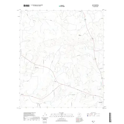
2019 Map of Grit
USGS Topo · Published 2019About this map
Grit serves as a central point in this part of Mason County, situated where several regional roads converge amid the limestone-influenced terrain of the Mason Mountains. The settlement pattern is defined by rural ranching and small communities like Streeter and Koockville, connected by a network of named routes including Old Junction Rd and Starks Rd. The landscape is heavily dissected by seasonal drainage, with Honey Cr and W Comanche Cr carving through the plateau. Local history is anchored by the Grit Cem and Cavness Cem, which offer significant genealogical value for families tied to these Texas hill country outposts. Geographic landmarks such as the Double Knobs stand out against the drainage basins of Lick Br and Koocks Br, illustrating a landscape shaped by intermittent water and the enduring cattle-ranching culture of the region.
Find a feature on this map
34 named features on this map. Tap any name to fly to it.
Don’t see what you’re looking for? This feature index may not catch every label — zoom into the map to look around manually.
Map Details
Editions of this 2019 Grit Map
This is the sole edition of this map. No revisions or reprints were ever made.
Other maps of this area
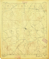
1887 · Mason
USGS Topo · 1:125,000
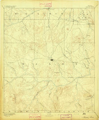
1894 · Mason
USGS Topo · 1:125,000
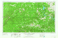
1954 · Llano
USGS Topo · 1:250,000
1955 · Llano
USGS Topo · 1:250,000
1956 · Llano
USGS Topo · 1:250,000
1962 · Purdy Hill
USGS Topo · 1:24,000
1963 · Spy Rock
USGS Topo · 1:24,000
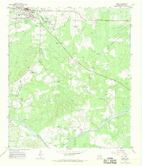
1967 · Mason
USGS Topo · 1:24,000
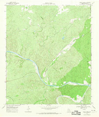
1968 · Turtle Creek
USGS Topo · 1:24,000
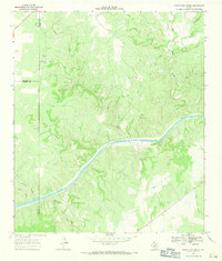
1968 · Sheep Run Creek
USGS Topo · 1:24,000