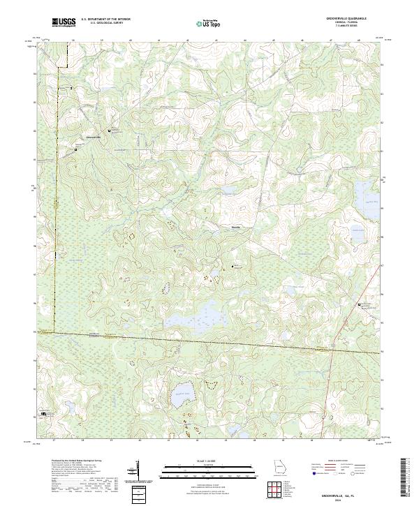
2024 Map of Grooverville
USGS Topo · Published 2024About this map
Grooverville sits at the heart of this landscape where the agricultural fields of south Georgia meet the expansive wetlands of the Florida border. The settlement pattern is defined by a network of rural roads such as Grooverville Rd and Liberty Church Rd, connecting small communities and numerous family or church-affiliated burial grounds. Genealogists will find a high concentration of sites including the African Methodist Episcopal Cem, Saint Philip Cem, and Ramsey Cem. The southern reach of the map is dominated by the Aucilla Swamp and the headwaters of the Aucilla River, marking the transition into Jefferson County, Florida. This survey documents the persistent rural character of Piscola and Windom while tracing the intricate water network of Cat Creek and McMullen Bay.
Find a feature on this map
51 named features on this map. Tap any name to fly to it.
Don’t see what you’re looking for? This feature index may not catch every label — zoom into the map to look around manually.
Map Details
Editions of this 2024 Grooverville Map
This is the sole edition of this map. No revisions or reprints were ever made.
Historical Maps of Florida Through Time
16 maps found
1956 Baden
Brooks County, GA
1956 Grooverville
Brooks County, GA
1956 Nankin
Brooks County, GA
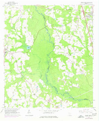
1961 Hahira West
Brooks County, GA
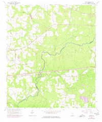
1961 Ousley
Brooks County, GA
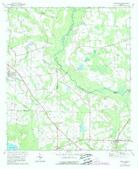
1974 Berlin East
Brooks County, GA
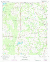
1975 Pebble Hill
Brooks County, GA
1978 Pebble Hill
Brooks County, GA
1994 Nankin
Brooks County, GA
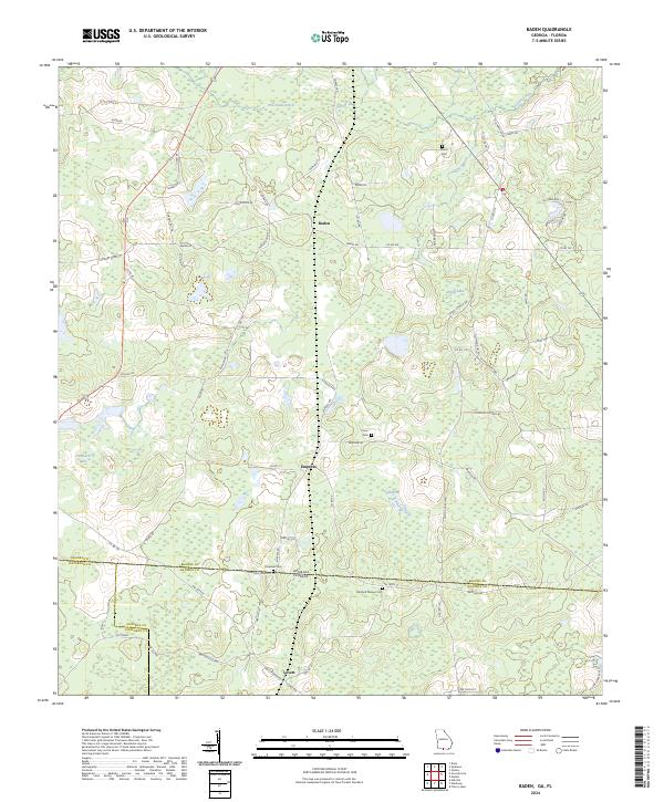
2024 Baden
Brooks County, GA
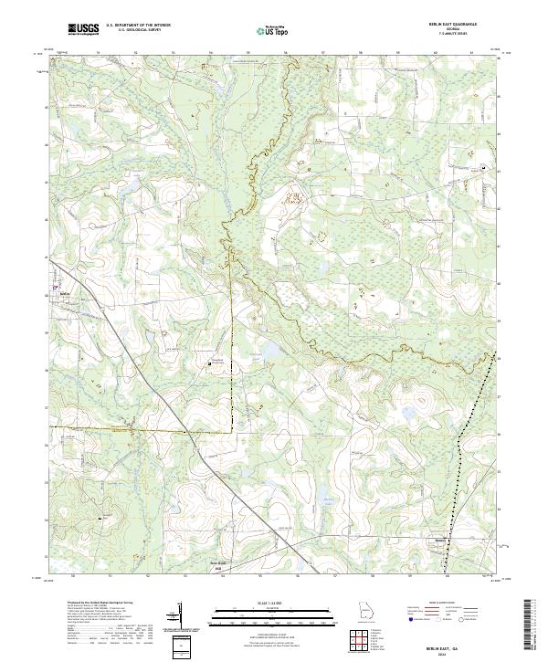
2024 Berlin East
Brooks County, GA
2024 Grooverville
Brooks County, GA
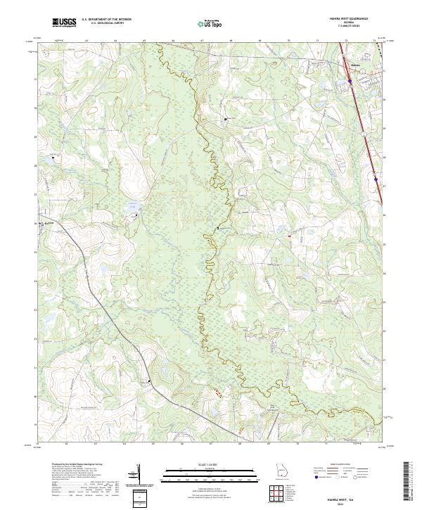
2024 Hahira West
Brooks County, GA
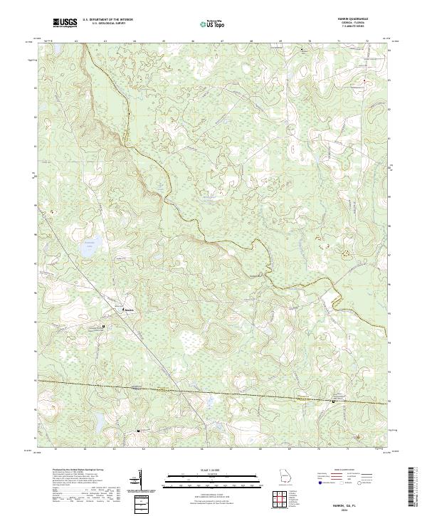
2024 Nankin
Brooks County, GA
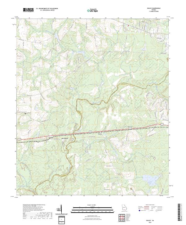
2024 Ousley
Brooks County, GA
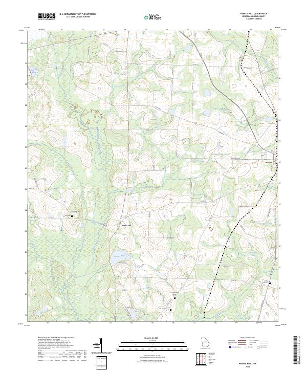
2024 Pebble Hill
Brooks County, GA