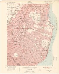
1952 Map of Grosse Pointe
USGS Topo · Published 1953About this map
Lake St Clair defines the eastern boundary of this mid-century survey, where the affluent residential developments of the Grosse Pointes meet the expanding suburbs of Macomb County. The shoreline is a hub of recreational activity, featuring the Grosse Pointe Yacht Club, Jefferson Beach, and the Crescent Sail Yacht Club. Inland, the landscape is heavily subdivided and serviced by a dense network of schools and parish institutions, including St Paul Sch and the Detroit University Sch.
Find a feature on this map
123 named features on this map. Tap any name to fly to it.
Don’t see what you’re looking for? This feature index may not catch every label — zoom into the map to look around manually.
Map Details
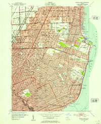
Editions of this 1952 Grosse Pointe Map
2 editions found
Other maps of this area

1905 · Detroit
USGS Topo · 1:62,500

1905 · Grosse Pointe
USGS Topo · 1:62,500

1908 · Rochester
USGS Topo · 1:62,500

1912 · Mt Clemens
USGS Topo · 1:62,500

1918 · Detroit
USGS Topo · 1:62,500

1918 · Grosse Pointe
USGS Topo · 1:62,500

1924 · Detroit
USGS Topo · 1:62,500

1929 · Mt Clemens
USGS Topo · 1:62,500

1934 · Detroit
USGS Topo · 1:62,500

1936 · Warren
USGS Topo · 1:31,680