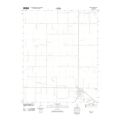
2010 Map of Gruver
USGS Topo · Published 2010About this map
Gruver anchors this northern Hansford County survey, where the grid-like town site is surrounded by a vast landscape of agricultural plots and ranch roads. The street plan of the town is clearly delineated, extending to the Gruver Cemetery on the eastern edge of the community. This 2010 edition illustrates a landscape defined by its water management and transportation network, featuring the winding course of Farwell Draw as it meanders across the southern plains. The terrain is crisscrossed by an extensive system of secondary roads including Farm Rd 2535 and Fm 278, alongside numerous county roads like Co Rd 10 and Co Rd 8. This arrangement highlights the logistical structure of the Texas Panhandle, where residential life in the town center is deeply integrated with the surrounding rural property divisions.
Find a feature on this map
16 named features on this map. Tap any name to fly to it.
Don’t see what you’re looking for? This feature index may not catch every label — zoom into the map to look around manually.
Map Details
Editions of this 2010 Gruver Map
This is the sole edition of this map. No revisions or reprints were ever made.
Other maps of this area

1954 · Perryton
USGS Topo · 1:250,000

1958 · Perryton
USGS Topo · 1:250,000

1962 · Kimball
USGS Topo · 1:24,000

1962 · Hansford
USGS Topo · 1:24,000

1973 · Gruver
USGS Topo · 1:24,000

1974 · Hannas Draw East
USGS Topo · 1:24,000

1974 · Sunray 1 SE
USGS Topo · 1:24,000

1974 · Bernstein
USGS Topo · 1:24,000

1974 · Hannas Draw West
USGS Topo · 1:24,000

1974 · Sunray 1 NE
USGS Topo · 1:24,000