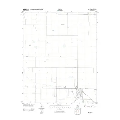
2012 Map of Gruver
USGS Topo · Published 2012About this map
Gruver serves as the primary hub in this portion of the Texas Panhandle, oriented around a dense grid of streets such as King Ave, Mc Cree, and Front St. The landscape beyond the town center is defined by a strictly organized system of section-line roads, including Co Road L and Co Road M, which reflect the region's agricultural layout. On the eastern edge of the settlement, Gruver Cem stands as a significant point for genealogical research. The map illustrates the convergence of regional transportation routes like Fm-278 and Ranch Road 278, which connect this remote community to the wider plains. The lack of natural water bodies and the prevalence of numbered county roads underscore the high-plains character of Hansford County in the early 21st century.
Find a feature on this map
30 named features on this map. Tap any name to fly to it.
Don’t see what you’re looking for? This feature index may not catch every label — zoom into the map to look around manually.
Map Details
Editions of this 2012 Gruver Map
This is the sole edition of this map. No revisions or reprints were ever made.
Other maps of this area

1954 · Perryton
USGS Topo · 1:250,000

1958 · Perryton
USGS Topo · 1:250,000

1962 · Kimball
USGS Topo · 1:24,000

1962 · Hansford
USGS Topo · 1:24,000

1973 · Gruver
USGS Topo · 1:24,000

1974 · Hannas Draw East
USGS Topo · 1:24,000

1974 · Sunray 1 SE
USGS Topo · 1:24,000

1974 · Bernstein
USGS Topo · 1:24,000

1974 · Hannas Draw West
USGS Topo · 1:24,000

1974 · Sunray 1 NE
USGS Topo · 1:24,000