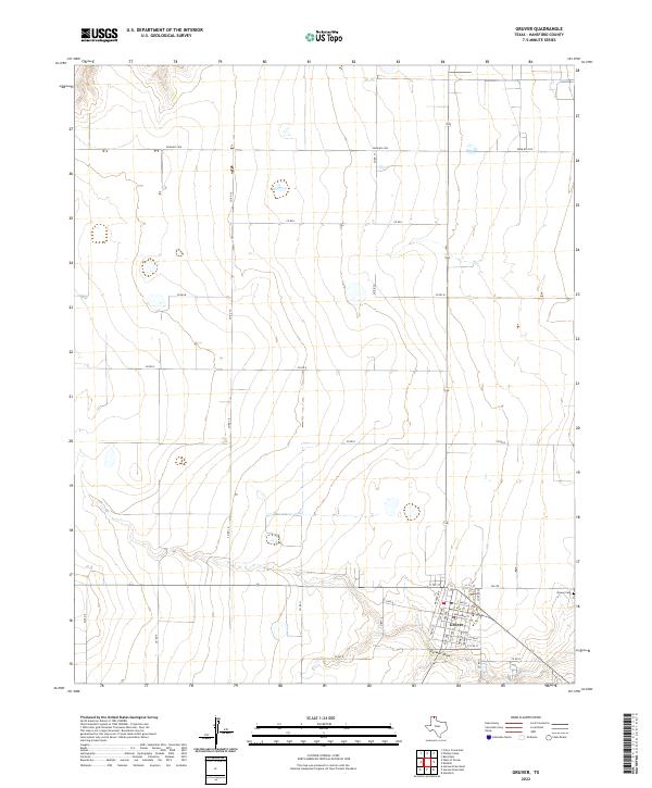
2022 Map of Gruver
USGS Topo · Published 2022About this map
Gruver sits as the central hub of this Hansford County landscape, anchored by a tight grid of residential and commercial streets. The town's layout is defined by thoroughfares like E Broadway St and Cooper Ave, serving as a pocket of development amidst an expansive agricultural grid. To the east, the Gruver Cem provides a point of genealogical interest for those tracing local family histories in the Texas Panhandle. The surrounding terrain is heavily marked by a systematic network of section roads, including Farm Rd 2535 and Co Rd 10, which trace the high plains topography. Farwell Draw meanders through the southern portion of the quadrangle, illustrating the natural drainage patterns that break the otherwise geometric regularity of the farming tracts.
Find a feature on this map
31 named features on this map. Tap any name to fly to it.
Don’t see what you’re looking for? This feature index may not catch every label — zoom into the map to look around manually.
Map Details
Editions of this 2022 Gruver Map
This is the sole edition of this map. No revisions or reprints were ever made.
Other maps of this area

1954 · Perryton
USGS Topo · 1:250,000

1958 · Perryton
USGS Topo · 1:250,000

1962 · Kimball
USGS Topo · 1:24,000

1962 · Hansford
USGS Topo · 1:24,000

1973 · Gruver
USGS Topo · 1:24,000

1974 · Hannas Draw East
USGS Topo · 1:24,000

1974 · Sunray 1 SE
USGS Topo · 1:24,000

1974 · Bernstein
USGS Topo · 1:24,000

1974 · Hannas Draw West
USGS Topo · 1:24,000

1974 · Sunray 1 NE
USGS Topo · 1:24,000