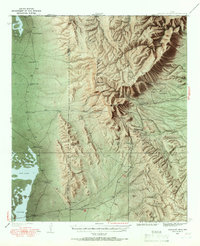
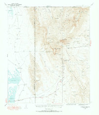
1933 Map of Guadalupe Peak
USGS Topo · Published 1966About this map
Guadalupe Peak Highest Point in Texas anchors this 1933 topographical survey, revealing a landscape defined by high-altitude ranching and the complex topography of the Guadalupe Mountains. Before this area became a national park, it was a region of isolated outposts and strategic water sources. The map captures the working life of the era through labels for Williams Ranch, Old PX Ranch, and Hegler Ranch, alongside seasonal lodges like Pratt Lodge and Grisham-Hunter Lodge.
Find a feature on this map
77 named features on this map. Tap any name to fly to it.
Don’t see what you’re looking for? This feature index may not catch every label — zoom into the map to look around manually.
Map Details
Editions of this 1933 Guadalupe Peak Map
6 editions found
Other maps of this area

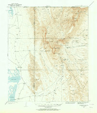
1933 · Guadalupe Peak
USGS Topo · 1:48,000

1935 · El Paso Gap
USGS Topo · 1:62,500

1936 · El Paso Gap
USGS Topo · 1:48,000

1940 · El Paso Gap
USGS Topo · 1:62,500

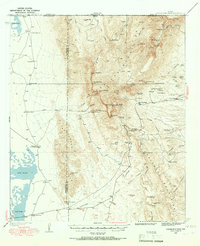
1940 · Guadalupe Peak
USGS Topo · 1:62,500

1940 · Carlsbad Caverns West
USGS Topo · 1:62,500

1943 · Carlsbad Caverns West
USGS Topo · 1:62,500

1951 · Dell City
USGS Topo · 1:62,500

1954 · Carlsbad
USGS Topo · 1:250,000

1954 · Van Horn
USGS Topo · 1:250,000