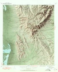
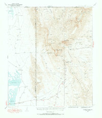
1933 Map of Guadalupe Peak
USGS Topo · Published 1972About this map
Guadalupe Peak and the surrounding high desert terrain dominate this 1933 survey of west Texas. The landscape is defined by the sharp transition from the Salt Lake flats of the Crow Flats to the massive limestone escarpment that includes El Capitan and Hunter Peak. Settlement at this time was sparse and centered on water sources, with isolated holdings like Williams Ranch, Pratt Lodge, and Frijole providing rare points of human habitation in a region of canyons and ridges.
Find a feature on this map
80 named features on this map. Tap any name to fly to it.
Don’t see what you’re looking for? This feature index may not catch every label — zoom into the map to look around manually.
Map Details
Editions of this 1933 Guadalupe Peak Map
6 editions found
Other maps of this area

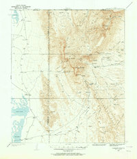
1933 · Guadalupe Peak
USGS Topo · 1:48,000

1935 · El Paso Gap
USGS Topo · 1:62,500

1936 · El Paso Gap
USGS Topo · 1:48,000

1940 · El Paso Gap
USGS Topo · 1:62,500

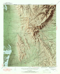
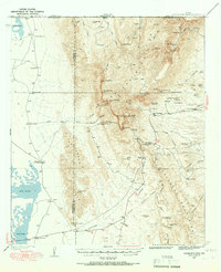
1940 · Guadalupe Peak
USGS Topo · 1:62,500

1940 · Carlsbad Caverns West
USGS Topo · 1:62,500

1943 · Carlsbad Caverns West
USGS Topo · 1:62,500

1951 · Dell City
USGS Topo · 1:62,500

1954 · Carlsbad
USGS Topo · 1:250,000

1954 · Van Horn
USGS Topo · 1:250,000