
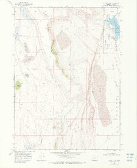
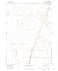
1968 Map of Guano Lake
USGS Topo · Published 1971About this map
Shirk Ranch sits at the northern edge of this high desert landscape, positioned near the dramatic descent of the Shirk Rim. This 1960s environment is defined by its intermittent water systems and vast catchment basins, most notably the expansive Guano Valley and the bed of Guano Lake. The map reveals a land managed for both grazing and wildlife, with a portion of the territory dedicated to the Hart Mountain National Antelope Refuge. Numerous small basins such as Jack Lake, Egg Lake, and Corral Lake dot the western plateau, connected by a network of Jeep Trails. These features, along with Jack Creek and Guano Creek, illustrate the complex drainage patterns of Lake County, where seasonal water availability dictated the placement of ranching outposts and conservation boundaries.
Find a feature on this map
17 named features on this map. Tap any name to fly to it.
Don’t see what you’re looking for? This feature index may not catch every label — zoom into the map to look around manually.
Map Details
Editions of this 1968 Guano Lake Map
2 editions found
Other maps of this area

1955 · Adel
USGS Topo · 1:250,000

1957 · Adel
USGS Topo · 1:250,000

1958 · Adel
USGS Topo · 1:250,000

1962 · Adel
USGS Topo · 1:250,000

1967 · Jacobs Reservoir
USGS Topo · 1:24,000

1967 · Alger Lake
USGS Topo · 1:24,000
1968 · Piute Reservoir
USGS Topo · 1:24,000
1968 · Blizzard Gap
USGS Topo · 1:24,000
1968 · Mud Lake Reservoir
USGS Topo · 1:24,000
1971 · Rocky Canyon
USGS Topo · 1:24,000