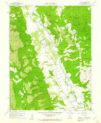
1959 Map of Guinda
USGS Topo · Published 1961About this map
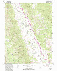
Capay Valley defines the core of this landscape, where the fertile flatlands along Cache Creek contrast sharply with the steep ridges of the Blue Ridge and Black Mtn. The 1950s settlement pattern is anchored by Guinda and Tancred, with evidence of local education and community history preserved through labels for the Indian Sch, Cañon Sch, and a lone Cemetery. Agricultural activity is evident in the numerous wells and bench marks that dot the valley floor, while the surrounding uplands are carved by named drainages like Wildcat Canyon and Johnson Canyon.
Find a feature on this map
66 named features on this map. Tap any name to fly to it.
Don’t see what you’re looking for? This feature index may not catch every label — zoom into the map to look around manually.
Map Details
Editions of this 1959 Guinda Map
6 editions found
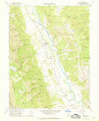
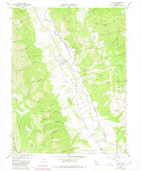
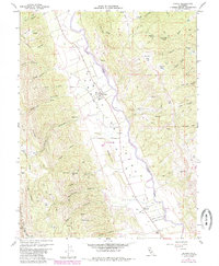
Other maps of this area

1905 · Harrington
USGS Topo · 1:24,000

1905 · Esparto
USGS Topo · 1:24,000

1916 · Harrington
USGS Topo · 1:31,680

1916 · Esparto
USGS Topo · 1:31,680

1924 · Capay
USGS Topo · 1:62,500

1942 · St. Helena
USGS Topo · 1:62,500

1943 · Morgan Valley
USGS Topo · 1:62,500

1943 · Capay
USGS Topo · 1:62,500

1944 · Morgan Valley
USGS Topo · 1:62,500

1945 · Capay
USGS Topo · 1:62,500