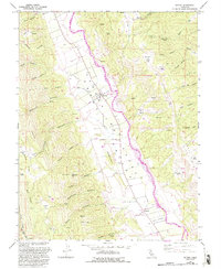
1959 Map of Guinda
USGS Topo · Published 1993About this map
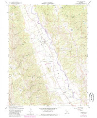
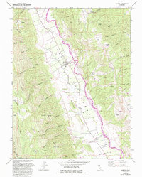
Cache Creek defines the center of this rural landscape, its course marked by a levee and a series of stream crossings like the Footbridge near Tancred. The agricultural heart of the Capay Valley is evident in the grid of orchards and roads that flank the creek, contrasting sharply with the uplifted Blue Ridge and Sweitzer Hills to the west. This 1959 survey, updated with revisions from 1987, documents the cultural landscape of northwestern Yolo County, including the Rumsey Rancheria and historical community landmarks like the Indian Sch and Canyon Sch. The settlement at Guinda serves as the focal point of the valley floor, positioned near the Vernon A Nichols County Park. Numerous named springs and canyons, such as Johnson Canyon and Wildcat Creek, provide a detailed record of the local topography and water sources essential for the region's ranching and farming history.
Find a feature on this map
66 named features on this map. Tap any name to fly to it.
Don’t see what you’re looking for? This feature index may not catch every label — zoom into the map to look around manually.
Map Details
Editions of this 1959 Guinda Map
6 editions found
Other maps of this area

1905 · Harrington
USGS Topo · 1:24,000

1905 · Esparto
USGS Topo · 1:24,000

1916 · Harrington
USGS Topo · 1:31,680

1916 · Esparto
USGS Topo · 1:31,680

1924 · Capay
USGS Topo · 1:62,500

1942 · St. Helena
USGS Topo · 1:62,500

1943 · Morgan Valley
USGS Topo · 1:62,500

1943 · Capay
USGS Topo · 1:62,500

1944 · Morgan Valley
USGS Topo · 1:62,500

1945 · Capay
USGS Topo · 1:62,500