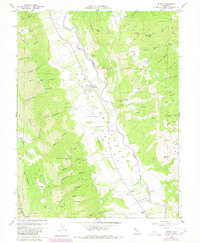
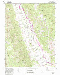
1959 Map of Guinda
USGS Topo · Published 1980About this map
Cache Creek winds through the heart of the Capay Valley, defining a landscape of narrow canyons and agricultural flats between the Blue Ridge and the Capay Hills. This 1959 survey, updated with 1980 photorevisions, documents a rural Yolo County community anchored by the settlement of Guinda and the Rumsey Rancheria. The map reveals a history of rural education and community life, featuring both the Indian Sch and Cañon Sch, alongside evidence of resource exploration at an Oil Well Test Site near Everett Flat. Small family-named landmarks like Patterson Spr and Lawson Spr are scattered across the surrounding heights, while the valley floor is etched with orchards and wells. The boundary between Yolo and Napa counties follows the crest of the western ridges, separating the valley from the rugged terrain of Reiff Canyon and Johnson Canyon.
Find a feature on this map
62 named features on this map. Tap any name to fly to it.
Don’t see what you’re looking for? This feature index may not catch every label — zoom into the map to look around manually.
Map Details
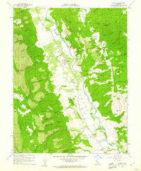
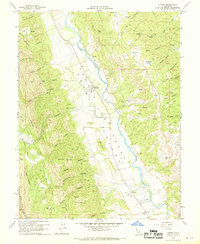
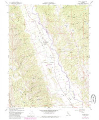
Editions of this 1959 Guinda Map
6 editions found
Other maps of this area

1905 · Harrington
USGS Topo · 1:24,000

1905 · Esparto
USGS Topo · 1:24,000

1916 · Harrington
USGS Topo · 1:31,680

1916 · Esparto
USGS Topo · 1:31,680

1924 · Capay
USGS Topo · 1:62,500

1942 · St. Helena
USGS Topo · 1:62,500

1943 · Morgan Valley
USGS Topo · 1:62,500

1943 · Capay
USGS Topo · 1:62,500

1944 · Morgan Valley
USGS Topo · 1:62,500

1945 · Capay
USGS Topo · 1:62,500