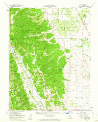
1959 Map of Guinda
USGS Topo · Published 1962About this map
Cache Creek defines the lower geography of the region, cutting through the Capay Valley where the small agricultural settlements of Guinda, Rumsey, and Tancred are established. To the east, the landscape transitions into the grid-patterned irrigation of the Central Valley, dominated by the Hungry Hollow Canal and the Southern Pacific railroad line passing through Harrington. This late-1950s survey documents a complex network of springs and canyons, such as Indian Mike Spring and Murphy Canyon, which supported earlier upland activity before more intensive irrigation reshaped the eastern flats.
Find a feature on this map
86 named features on this map. Tap any name to fly to it.
Don’t see what you’re looking for? This feature index may not catch every label — zoom into the map to look around manually.
Map Details
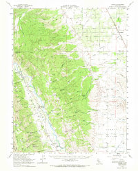
Editions of this 1959 Guinda Map
2 editions found
Other maps of this area

1888 · Marysville
USGS Topo · 1:125,000

1891 · Marysville
USGS Topo · 1:125,000

1894 · Marysville
USGS Topo · 1:125,000

1895 · Marysville
USGS Topo · 1:125,000

1905 · Harrington
USGS Topo · 1:24,000

1905 · Esparto
USGS Topo · 1:24,000

1907 · Dunnigan
USGS Topo · 1:62,500

1907 · Colusa
USGS Topo · 1:62,500

1907 · Woodland
USGS Topo · 1:62,500

1911 · Grimes
USGS Topo · 1:31,680