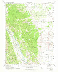
1959 Map of Guinda
USGS Topo · Published 1968About this map
The Capay Valley serves as the primary corridor for settlement in this 1959 topographic survey, where Cache Creek flows past the small communities of Rumsey, Guinda, and Tancred. This region of California, spanning the border of Colusa County and Yolo County, reveals a landscape transitioning from the flat agricultural lands of Hungry Hollow to the eastern slopes of the Coast Ranges. Educational history is preserved through the locations of the Wildwood School, Tancred School, and Indian School, reflecting the rural character of the era. To the east, the Southern Pacific railroad line runs through Harrington, marking the edge of the valley's transit network. The terrain is marked by numerous named springs and flats, including Du Bois Spring and Everett Flat, which historically supported the ranching and agricultural efforts found within the deep canyons of the Stevens and Bald Mountain foothills.
Find a feature on this map
100 named features on this map. Tap any name to fly to it.
Don’t see what you’re looking for? This feature index may not catch every label — zoom into the map to look around manually.
Map Details
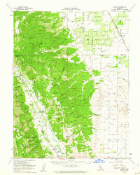
Editions of this 1959 Guinda Map
2 editions found
Other maps of this area

1888 · Marysville
USGS Topo · 1:125,000

1891 · Marysville
USGS Topo · 1:125,000

1894 · Marysville
USGS Topo · 1:125,000

1895 · Marysville
USGS Topo · 1:125,000

1905 · Harrington
USGS Topo · 1:24,000

1905 · Esparto
USGS Topo · 1:24,000

1907 · Dunnigan
USGS Topo · 1:62,500

1907 · Colusa
USGS Topo · 1:62,500

1907 · Woodland
USGS Topo · 1:62,500

1911 · Grimes
USGS Topo · 1:31,680