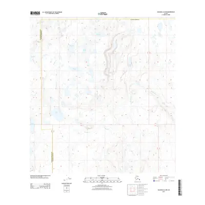
2013 Map of Gulkana A-6 NW
USGS Topo · Published 2013About this map
Mendeltna Cr weaves through a landscape defined by an intricate network of glacial lakes and wetlands along the boundary between Matanuska-Susitna and Valdez-Cordova. This 2013 survey illustrates a wilderness area dominated by water bodies of varying sizes, from the larger Marie Lake and Blue Lake to more secluded features like Nye Lake and Mohler Lake. The presence of Mendeltna Springs in the eastern portion of the quadrangle suggests a complex hydrological system feeding the various creek branches. The terrain is marked by gentle elevation changes and numerous small, unnamed ponds, reflecting the post-glacial topography typical of this region of Alaska. The absence of developed roads or settlements emphasizes the remote, undisturbed nature of the corridor between Cat Lake and the southeastern drainage of the Mendeltna Cr system.
Find a feature on this map
12 named features on this map. Tap any name to fly to it.
Don’t see what you’re looking for? This feature index may not catch every label — zoom into the map to look around manually.
Map Details
Editions of this 2013 Gulkana A-6 NW Map
This is the sole edition of this map. No revisions or reprints were ever made.
Other maps of this area
1949 · Talkeetna Mountains A-1
USGS Topo · 1:63,360
1949 · Gulkana A-6
USGS Topo · 1:63,360
1950 · Talkeetna Mountains
USGS Topo · 1:250,000
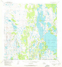
1950 · Gulkana B-6
USGS Topo · 1:63,360
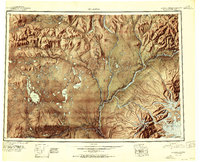
1951 · Gulkana
USGS Topo · 1:250,000
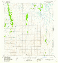
1951 · Talkeetna Mountains B-1
USGS Topo · 1:63,360
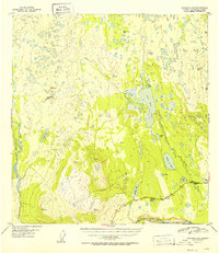
1952 · Gulkana A-6
USGS Topo · 1:63,360
1952 · Talkeetna Mountains A-1
USGS Topo · 1:63,360
1952 · Gulkana B-6
USGS Topo · 1:63,360
1952 · Talkeetna Mountains B-1
USGS Topo · 1:63,360