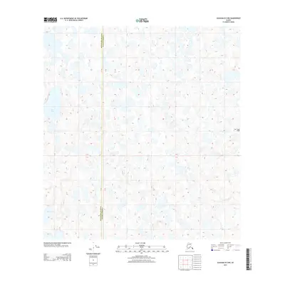
2013 Map of Gulkana B-5 NW
USGS Topo · Published 2013About this map
The Matanuska-Susitna and Valdez-Cordova boundary line cuts through a landscape defined by an intricate network of kettle lakes and glacial landforms. The topography is dominated by the Nen' Yese' Ridge in the eastern portion, providing a sharp contrast to the low-lying wetlands and scattered water bodies to the west. Significant water features such as Bell Lake and Dog Lake dot the terrain, while the headwaters of Tolsona Cr flow through the southern reach. This 2013 survey illustrates the complex hydrology of the Copper River Basin, showing the dense concentration of small ponds and marshes that characterize the region's subarctic wilderness before significant human development or road infrastructure reached this specific section.
Find a feature on this map
5 named features on this map. Tap any name to fly to it.
Don’t see what you’re looking for? This feature index may not catch every label — zoom into the map to look around manually.
Map Details
Editions of this 2013 Gulkana B-5 NW Map
This is the sole edition of this map. No revisions or reprints were ever made.
Other maps of this area
1950 · Gulkana B-6
USGS Topo · 1:63,360
1951 · Gulkana
USGS Topo · 1:250,000
1951 · Gulkana B-5
USGS Topo · 1:63,360
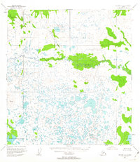
1951 · Gulkana C-5
USGS Topo · 1:63,360
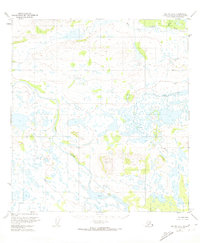
1951 · Gulkana C-6
USGS Topo · 1:63,360
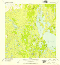
1952 · Gulkana B-6
USGS Topo · 1:63,360
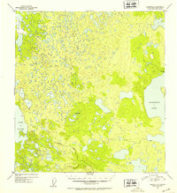
1952 · Gulkana B-5
USGS Topo · 1:63,360
1952 · Gulkana C-5
USGS Topo · 1:63,360
1952 · Gulkana C-6
USGS Topo · 1:63,360
1959 · Gulkana
USGS Topo · 1:250,000