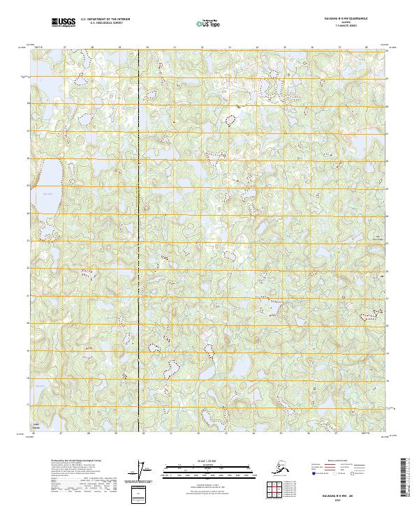
2023 Map of Gulkana B-5 NW
USGS Topo · Published 2023About this map
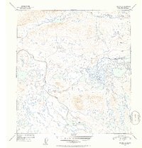
Lake Louise anchors the southwestern corner of this interior Alaskan landscape, where the boundary between Matanuska-Susitna and Copper River counties meets. The terrain is defined by a dense network of small ponds and wetlands characteristic of the Copper River Basin's glacial history. Significant water bodies like Bell Lake and Dog Lake are interconnected by the drainage of Tolsona Creek, which meanders through the central lowlands. To the east, the elevation rises toward the prominence of Nen' Yese' Ridge, providing a distinct topographic contrast to the surrounding lake-studded flats. This 2023 survey illustrates a largely unpopulated wilderness area where natural hydrology and high-latitude vegetation patterns dictate the character of the land.
Find a feature on this map
10 named features on this map. Tap any name to fly to it.
Don’t see what you’re looking for? This feature index may not catch every label — zoom into the map to look around manually.
Map Details
Editions of this 2023 Gulkana B-5 NW Map
This is the sole edition of this map. No revisions or reprints were ever made.
Other maps of this area

1950 · Gulkana B-6
USGS Topo · 1:63,360

1951 · Gulkana
USGS Topo · 1:250,000

1951 · Gulkana B-5
USGS Topo · 1:63,360

1951 · Gulkana C-5
USGS Topo · 1:63,360

1951 · Gulkana C-6
USGS Topo · 1:63,360
1952 · Gulkana B-6
USGS Topo · 1:63,360
1952 · Gulkana B-5
USGS Topo · 1:63,360
1952 · Gulkana C-5
USGS Topo · 1:63,360
1952 · Gulkana C-6
USGS Topo · 1:63,360

1959 · Gulkana
USGS Topo · 1:250,000