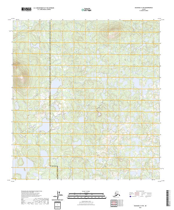
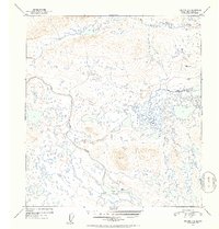
2023 Map of Gulkana C-5 SW
USGS Topo · Published 2023About this map
The jurisdictional divide between Matanuska-Susitna Co and Copper River Co defines this interior Alaskan landscape. This 2023 edition presents a detailed survey of the high-altitude terrain, where the undulating contour lines reveal a complex network of glacial ponds and small lakes scattered across the plateau. The survey area is governed by the Public Land Survey System, marked by the intersection of townships including t10n r7w, t10n r6w, and t9n r7w. While the terrain appears largely unsettled, the cartography provides essential data for understanding the hydrography and elevation of this subarctic environment. The lack of named roads or structures emphasizes the wilderness character of the region at the time of this 2023 study.
Find a feature on this map
7 named features on this map. Tap any name to fly to it.
Don’t see what you’re looking for? This feature index may not catch every label — zoom into the map to look around manually.
Map Details
Editions of this 2023 Gulkana C-5 SW Map
This is the sole edition of this map. No revisions or reprints were ever made.
Other maps of this area

1950 · Gulkana B-6
USGS Topo · 1:63,360

1951 · Gulkana
USGS Topo · 1:250,000

1951 · Gulkana B-5
USGS Topo · 1:63,360

1951 · Gulkana C-5
USGS Topo · 1:63,360

1951 · Gulkana C-6
USGS Topo · 1:63,360
1952 · Gulkana B-6
USGS Topo · 1:63,360
1952 · Gulkana B-5
USGS Topo · 1:63,360
1952 · Gulkana C-5
USGS Topo · 1:63,360
1952 · Gulkana C-6
USGS Topo · 1:63,360

1959 · Gulkana
USGS Topo · 1:250,000