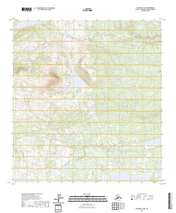
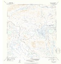
2023 Map of Gulkana C-6 NE
USGS Topo · Published 2023About this map
The Gulkana Wild and Scenic River corridor dominates this high-latitude Alaskan terrain, showcasing a complex network of glacial and alluvial water systems. The West Fork Gulkana River meanders across the northern portion of the quadrangle, where the presence of the wild and scenic designation signifies a landscape managed for its primitive character and natural flow. The hydrography is further defined by Moose Creek, which joins the drainage network amidst a vast expanse of muskeg and wetlands.
Find a feature on this map
7 named features on this map. Tap any name to fly to it.
Don’t see what you’re looking for? This feature index may not catch every label — zoom into the map to look around manually.
Map Details
Editions of this 2023 Gulkana C-6 NE Map
This is the sole edition of this map. No revisions or reprints were ever made.
Other maps of this area

1951 · Gulkana
USGS Topo · 1:250,000

1951 · Gulkana D-6
USGS Topo · 1:63,360

1951 · Gulkana D-5
USGS Topo · 1:63,360

1951 · Gulkana C-5
USGS Topo · 1:63,360

1951 · Gulkana C-6
USGS Topo · 1:63,360
1952 · Gulkana D-6
USGS Topo · 1:63,360
1952 · Gulkana D-5
USGS Topo · 1:63,360
1952 · Gulkana C-5
USGS Topo · 1:63,360
1952 · Gulkana C-6
USGS Topo · 1:63,360

1959 · Gulkana
USGS Topo · 1:250,000