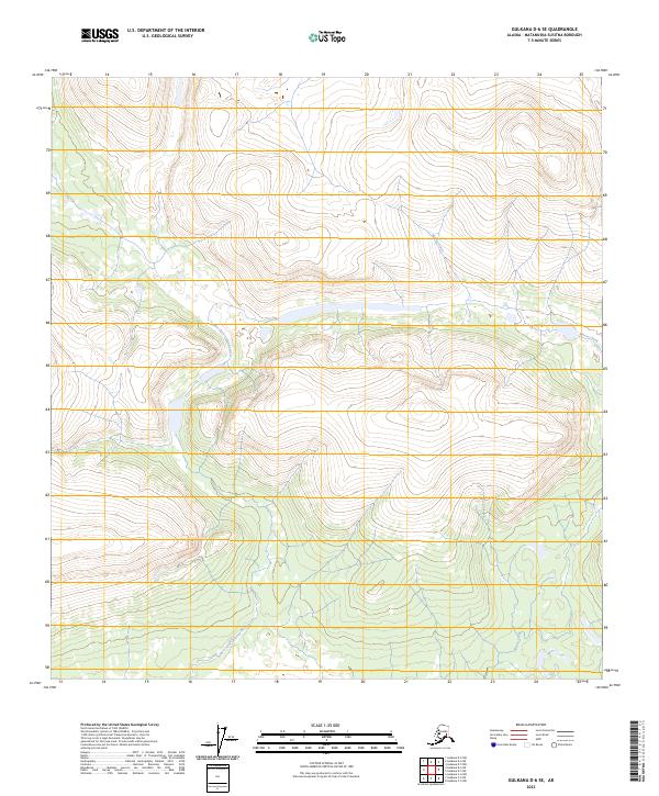
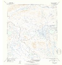
2023 Map of Gulkana D-6 SE
USGS Topo · Published 2023About this map
The Gulkana Wild and Scenic River defines the southern portion of this interior Alaska wilderness, as documented in this 2023 U.S. Geological Survey topographic record. The landscape is dominated by the meandering course of the West Fork Gulkana River, which winds through high-elevation terrain between 3,000 and 4,000 feet. This specific region, located within the Matanuska-Susitna Borough, showcases the untouched hydrography of the Alaskan backcountry, where Moose Creek cuts through a series of ridges and valleys. The absence of roads or permanent settlements on the map underscores the area's protected status and remote nature, focusing entirely on the natural drainage patterns and topographical relief that characterize the Copper River Basin's drainage system.
Find a feature on this map
10 named features on this map. Tap any name to fly to it.
Don’t see what you’re looking for? This feature index may not catch every label — zoom into the map to look around manually.
Map Details
Editions of this 2023 Gulkana D-6 SE Map
This is the sole edition of this map. No revisions or reprints were ever made.
Other maps of this area

1951 · Gulkana
USGS Topo · 1:250,000

1951 · Gulkana D-6
USGS Topo · 1:63,360

1951 · Gulkana D-5
USGS Topo · 1:63,360

1951 · Gulkana C-5
USGS Topo · 1:63,360

1951 · Gulkana C-6
USGS Topo · 1:63,360
1952 · Gulkana D-6
USGS Topo · 1:63,360
1952 · Gulkana D-5
USGS Topo · 1:63,360
1952 · Gulkana C-5
USGS Topo · 1:63,360
1952 · Gulkana C-6
USGS Topo · 1:63,360

1959 · Gulkana
USGS Topo · 1:250,000