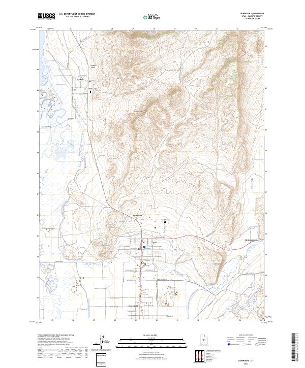
2023 Map of Gunnison
USGS Topo · Published 2023About this map
Gunnison and its neighboring agricultural communities are defined by an intricate network of irrigation engineering designed to manage the waters of the San Pitch River and Sevier River. The landscape is etched with historical waterworks, including the Gunnison Fayette Canal, Larson Ditch, and the South Extension Old Field Canal, which support the settlements of Fayette, Centerfield, and Christianburg. This system illustrates the vital role of water management in sustaining these high-desert townships. To the east, the San Pitch Mountains rise sharply, featuring distinctive landforms like The Caterpillar and Chalk Hill. For genealogists, the map identifies specific local landmarks such as the Fayette Cem and Gunnison Cem, alongside the Fayette Spring and the Po in downtown Gunnison. The transition from the rugged Antelope Valley to the organized grid of the town sites highlights the deliberate settlement patterns of Sanpete County.
Find a feature on this map
63 named features on this map. Tap any name to fly to it.
Don’t see what you’re looking for? This feature index may not catch every label — zoom into the map to look around manually.
Map Details
Editions of this 2023 Gunnison Map
This is the sole edition of this map. No revisions or reprints were ever made.
Other maps of this area

1885 · Manti
USGS Topo · 1:250,000

1895 · Manti
USGS Topo · 1:250,000

1956 · Price
USGS Topo · 1:250,000

1960 · Price
USGS Topo · 1:250,000

1962 · Price
USGS Topo · 1:250,000
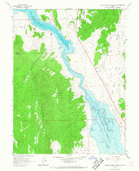
1965 · Hells Kitchen Canyon SW
USGS Topo · 1:24,000

1965 · Hells Kitchen Canyon SE
USGS Topo · 1:24,000
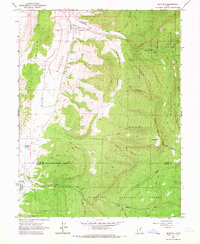
1965 · Mayfield
USGS Topo · 1:24,000

1965 · Manti
USGS Topo · 1:24,000
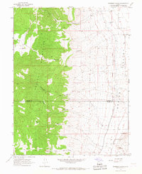
1966 · Redmond Canyon
USGS Topo · 1:24,000